Map Reading - Basic Principles of Reading a Map
Map Reading - Basic Principles of Reading a Map
Navigation is a critical skill for any outdoor enthusiast, and having the right tools can make all the difference. Topographical maps are an essential tool for navigating in unfamiliar terrain, as they provide detailed information about elevation, landforms, and other features of the area. In this blog post we will explore what topographical maps are, how to read them effectively, and how to use them for fieldcraft and navigation.
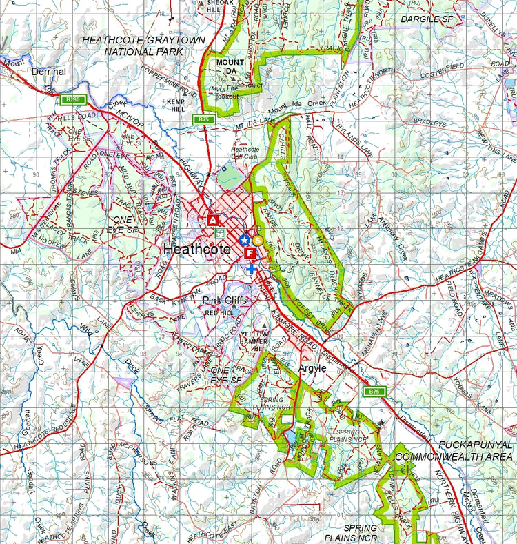
Topographical maps are graphical representations of the Earth's surface, showing details such as contours of elevation, roads, rivers and other bodies of water, cities and towns, and landforms. They also include man-made features such as railways, power lines and buildings. The key element on a topographic map is the contour line, which is a line connecting points of equal elevation. By looking at the pattern and shape of the contour lines, it’s possible to visualize the terrain and identify features such as depressions, ridges, hills, valleys and peaks.
In order to use a topographic map for navigation, you must first understand its basic symbols. Each map is labeled with a legend, which explains the meanings of the various symbols and colors used on the map. It’s important to familiarize yourself with these symbols before attempting navigation using this type of map. Once you know what each symbol and color mean, you can use them to identify features such as roads, rivers, bodies of water, and landforms.
Topographical maps are invaluable for fieldcraft activities such as orienteering, backpacking, and wilderness navigation. When navigating in unfamiliar terrain, the ability to read a topographic map is essential. By studying the contour lines on the map, it’s possible to determine elevation and landforms in the area, as well as identify potential routes and hazards. This allows you to make informed decisions about the best route to take, and can help you avoid any potential dangers along the way.
By learning how to read a topographic map, it's possible to gain a better understanding of the terrain and use this knowledge for more successful navigation.
Learn More Here - AAFC Resource Fieldcraft
Confused about Mils v Degrees then check this article out